-
Lorem Ipsum is simply dummy text of the . Lorem Ipsum has been the industry's standard dummy text ever since the 1500s, when an unknown printer took a galley of type and scrambled it to make a type specimen book. It has survived not only five centuries, but also the leap into electronic typesetting, remaining essentially unchanged. It was popularised in the 1960s with the release of Letraset sheets containing Lorem Ipsum passages, and more recently with desktop publishing software like Aldus PageMaker including versions of Lorem Ipsum.
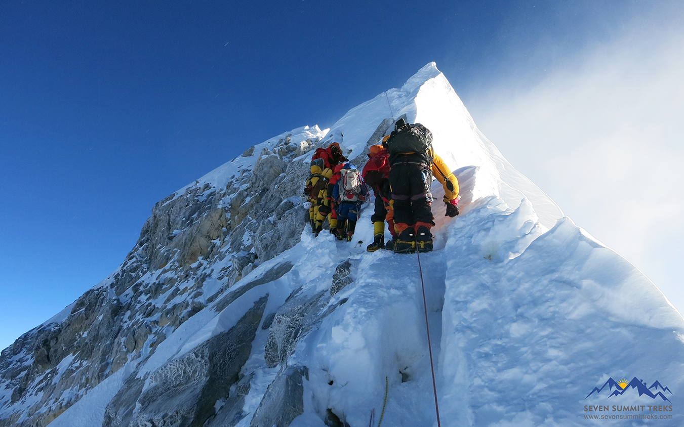
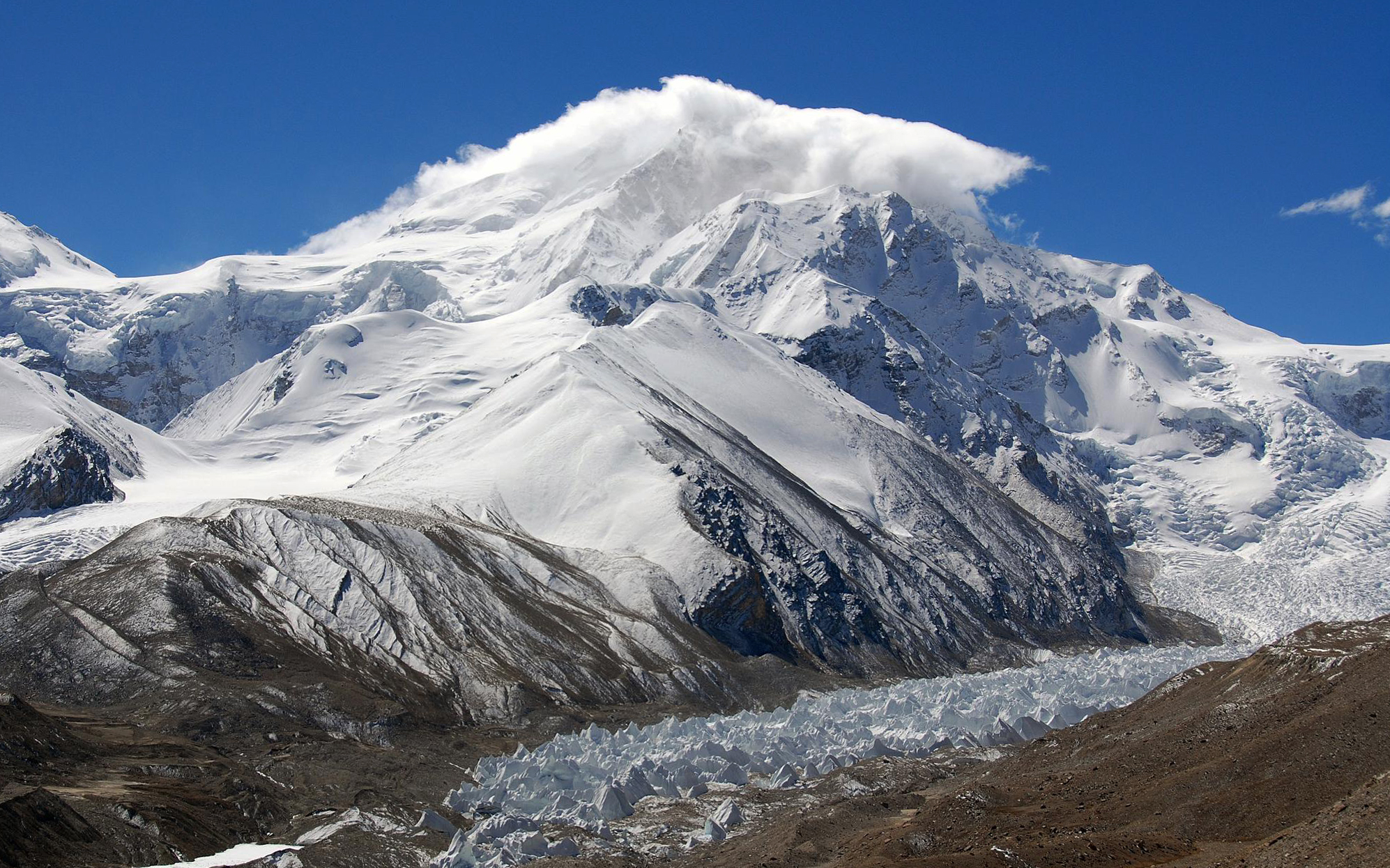
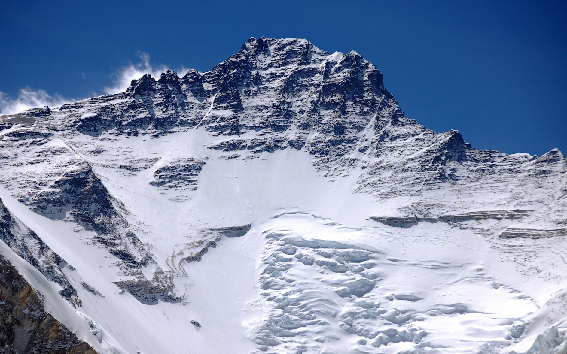
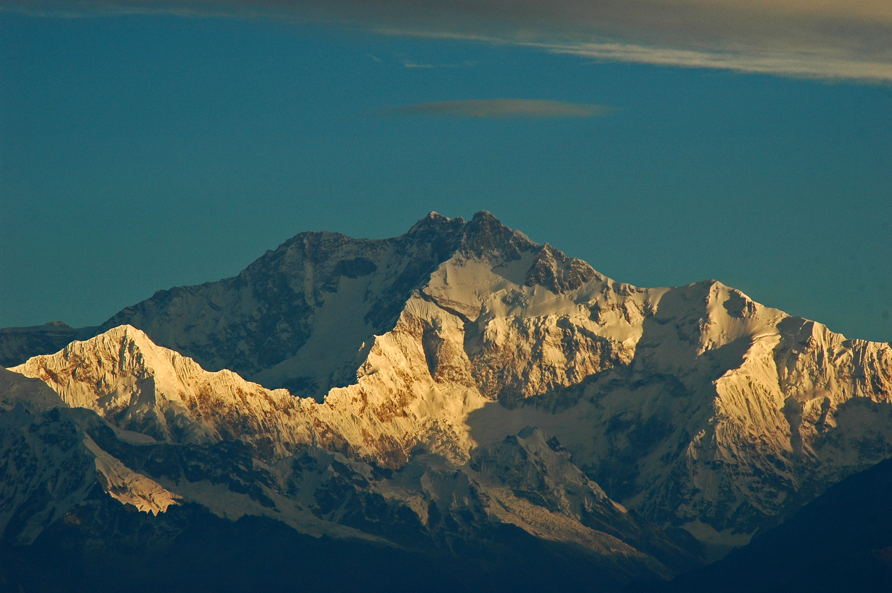
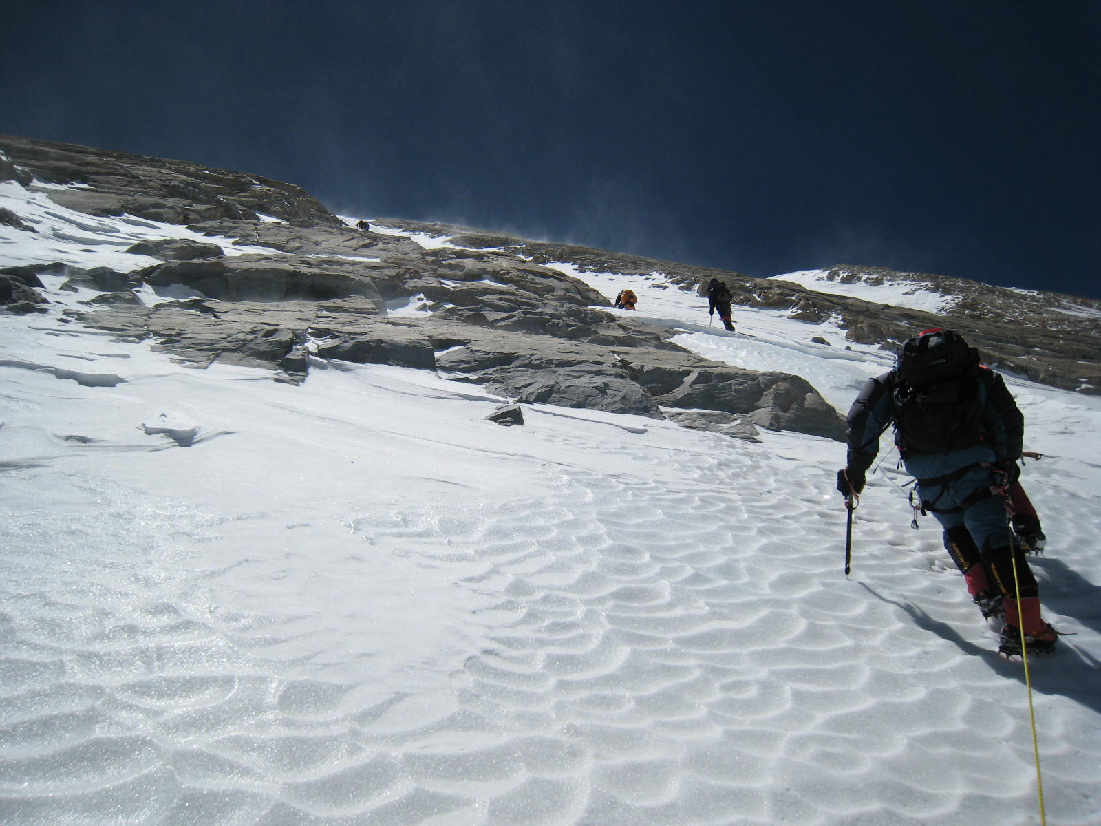
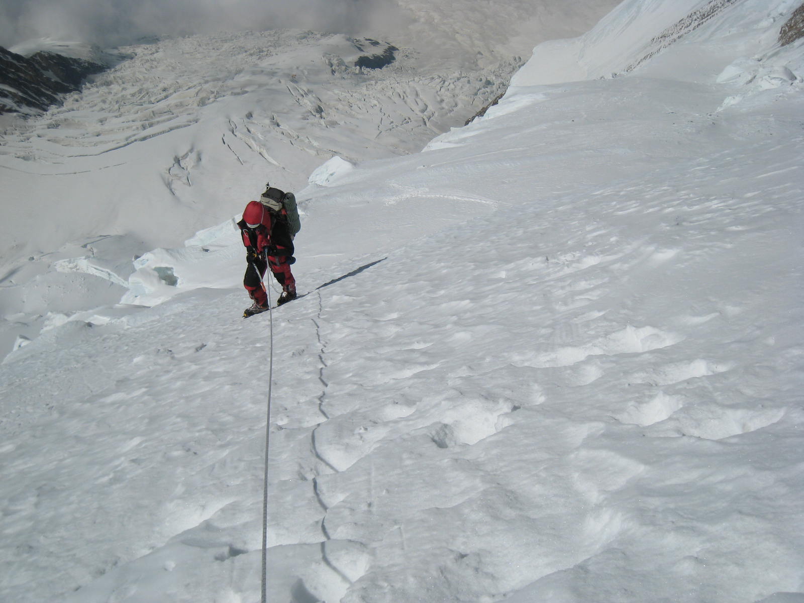
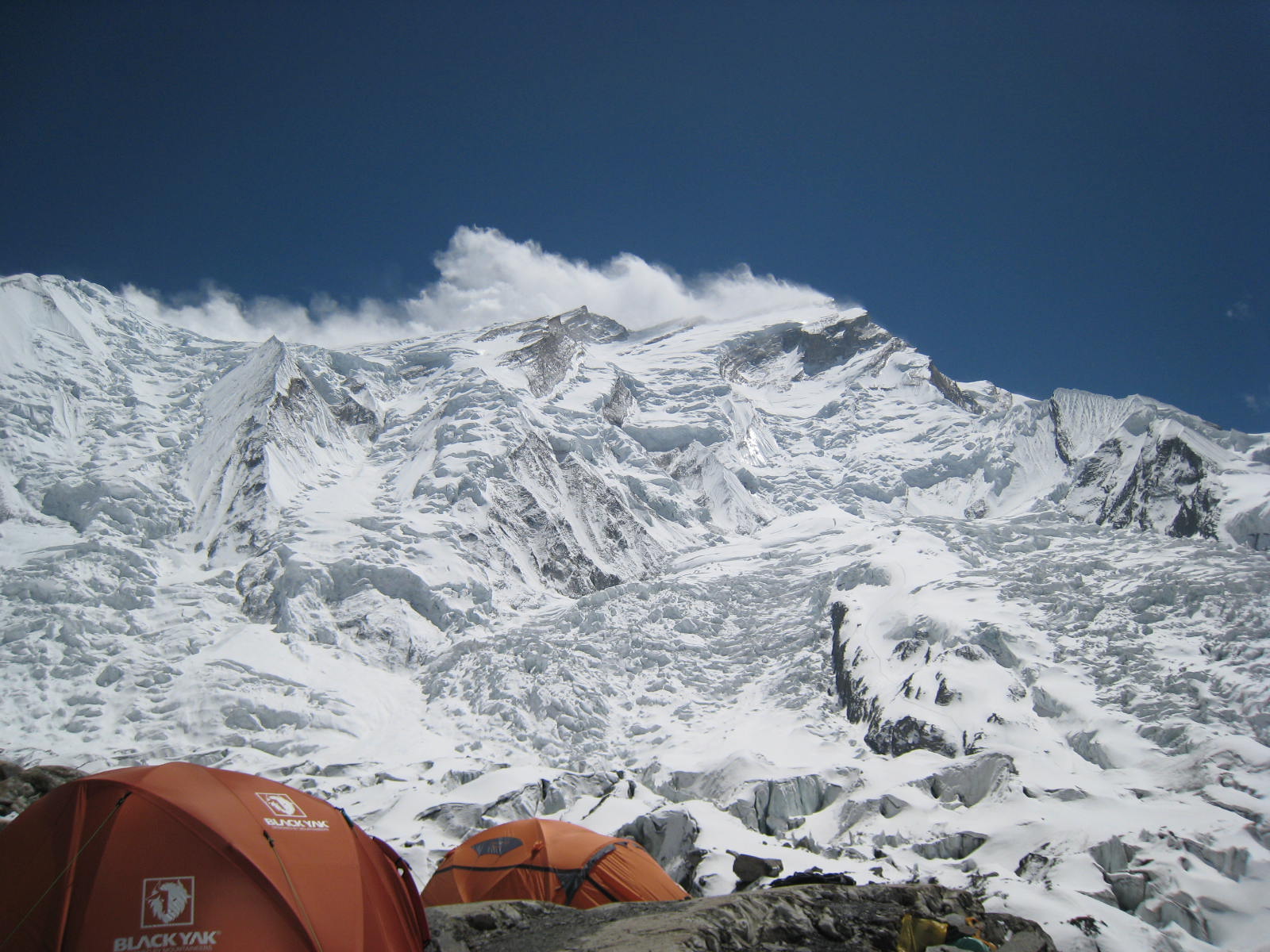
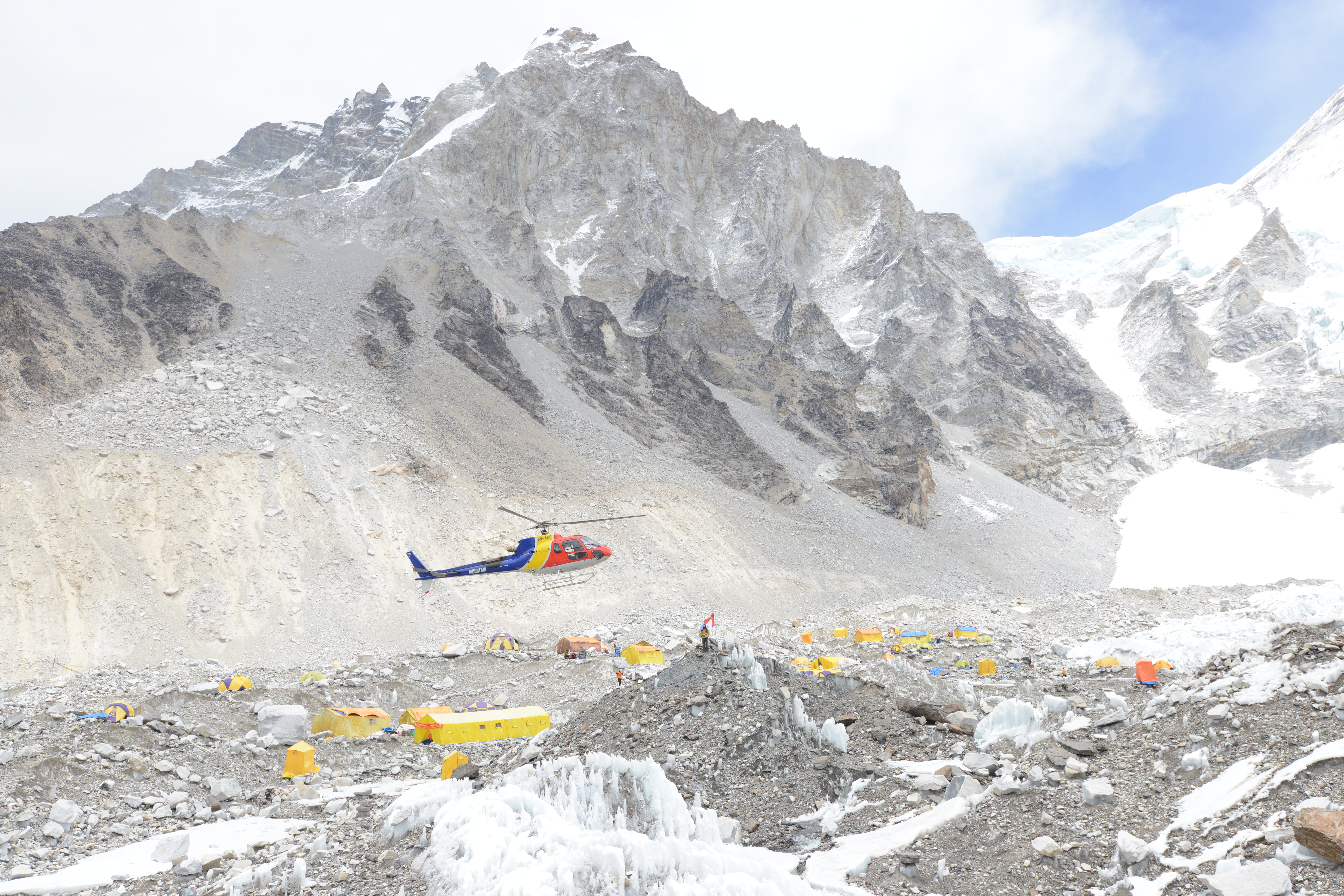
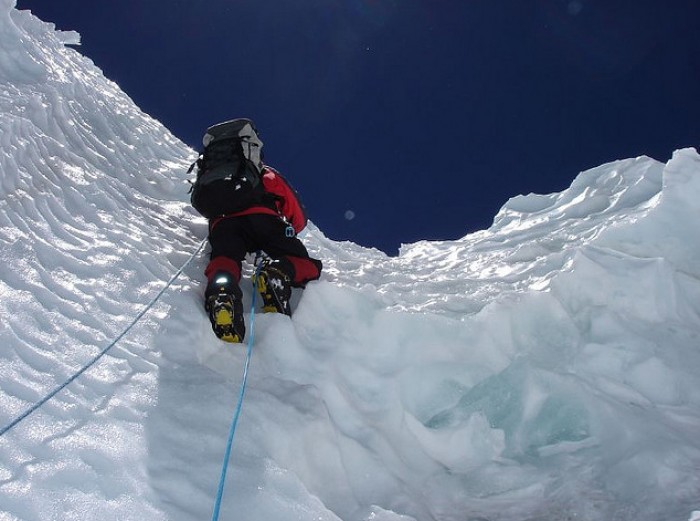
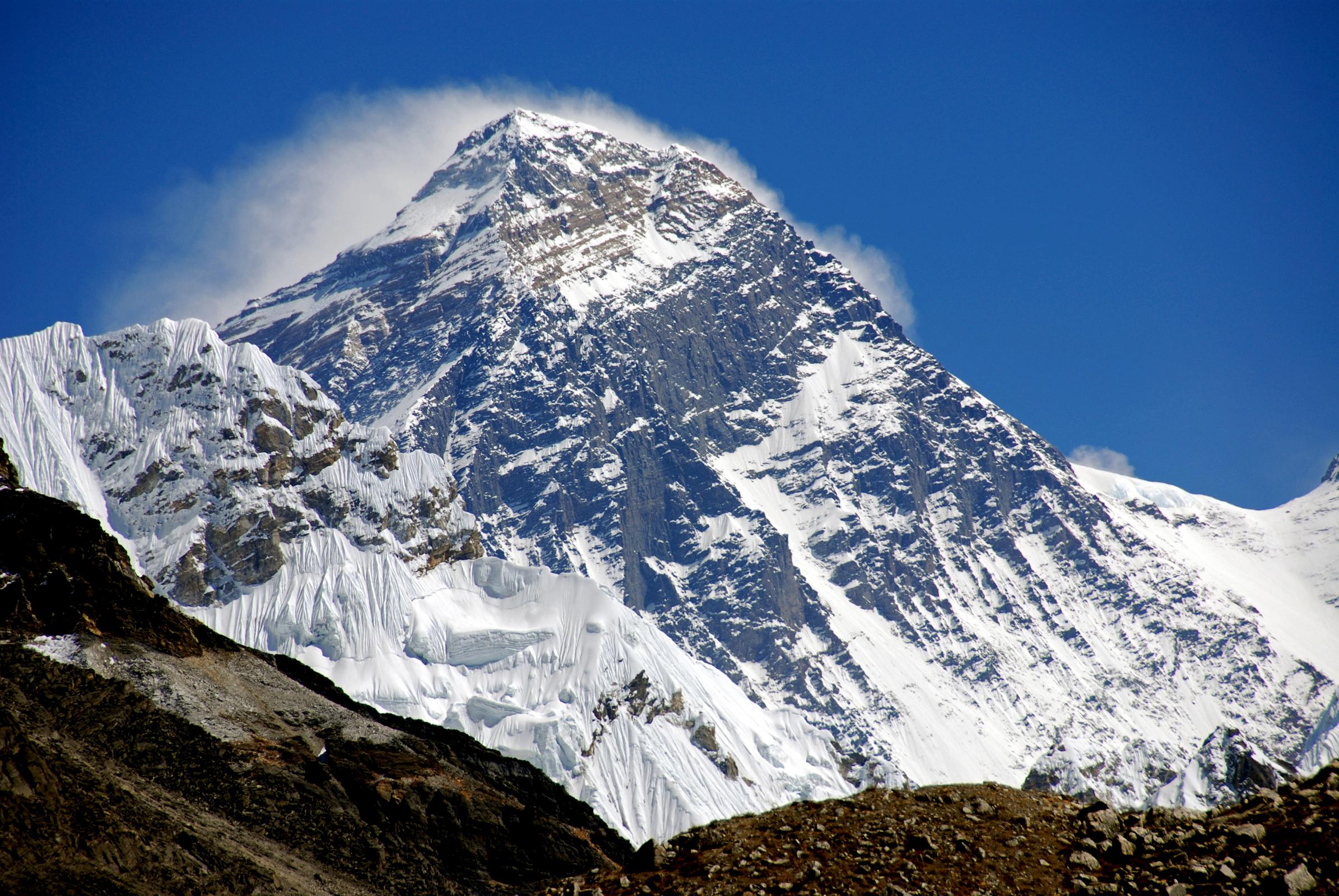
Geographical facts of the Main 8000ers
| NAME | ALT/m | COUNTRIES | LATITUDE | LONGITUDE | RP | AREA | ||
| EVEREST | 8848 | Np/Chn (Tb) | 27°59'18" | N | 86°55'33" | E | NH | KHUMBU HIMAL |
| K2 | 8611 | Pk/Chn (Sk) | 35°52'51" | N | 76°30'48" | E | Kk | BALTORO MUZTAGH |
| KANGCHENJUNGA | 8586 | Np/Ind | 27°42'09" | N | 88°08'54" | E | SH | KANGCHENJUNGA HIMAL |
| LHOTSE | 8516 | Np/Chn (Tb) | 27°57'42" | N | 86°56'00" | E | NH | KHUMBU HIMAL |
| MAKALU | 8485 | Np/Chn (Tb) | 27°53'24" | N | 87°05'18" | E | NH | BARUN HIMAL |
| CHO OYU | 8188 | Np/Chn (Tb) | 28°05'39" | N | 86°39'39" | E | NH | KHUMBU HIMAL |
| DHAULAGIRI I | 8167 | Np | 28°41'48" | N | 83°29'39" | E | NH | DHAULAGIRI HIMAL |
| MANASLU | 8163 | Np | 28°33'00" | N | 84°33'39" | E | NH | MANSIRI HIMAL |
| NANGA PARBAT | 8125 | Pk | 35°14'15" | N | 74°35'24" | E | KH | NANGA PARBAT AREA |
| ANNAPURNA I | 8091 | Np | 28°35'45" | N | 83°49'15" | E | NH | ANNAPURNA HIMAL |
| GASHERBRUM I | 8080 | Pk/Chn (Sk) | 35°43'27" | N | 76°41'48" | E | Kk | BALTORO MUZTAGH |
| BROAD PEAK | 8051 | Pk/Chn (Sk) | 35°48'39" | N | 76°34'06" | E | Kk | BALTORO MUZTAGH |
| GASHERBRUM II | 8034 | Pk/Chn (Sk) | 35°45'27" | N | 76°39'15" | E | Kk | BALTORO MUZTAGH |
| SHISHA PANGMA | 8027 | Chn (Tb) | 28°21'09" | N | 85°46'45" | E | NH | JUGAL HIMAL |
›RP = Range Parts:
›NH = Nepal-Himalaya, Kk = Karakorum,
›SH = Sikkim-Himalaya, KH = Kashmir-Himalaya
The altitudes of the Nepalese mountains are taken from the Finnmaps and for the Karakorum mountains they are from the Chinese snow map. The altitude of Shisha Pangma was taken from the Austrian Alpine Club map, it was revised recently also on Chinese maps!
Source: 8000ers.com